This website uses cookies so that we can provide you with the best user experience possible. Cookie information is stored in your browser and performs functions such as recognising you when you return to our website and helping our team to understand which sections of the website you find most interesting and useful.
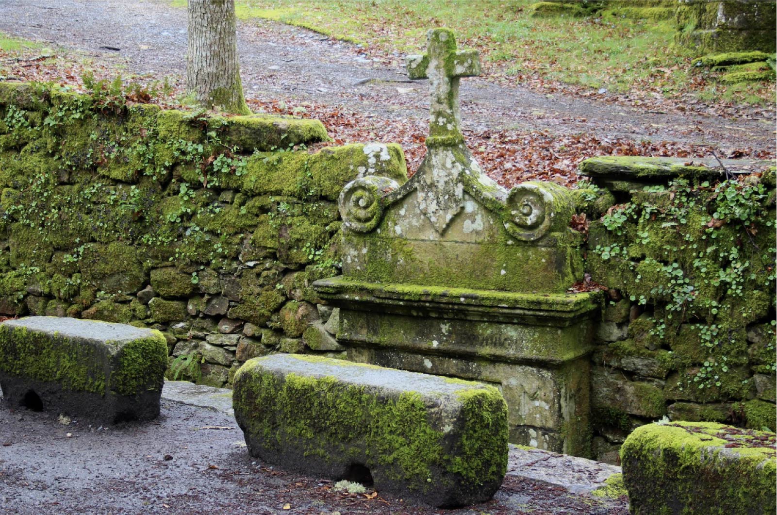
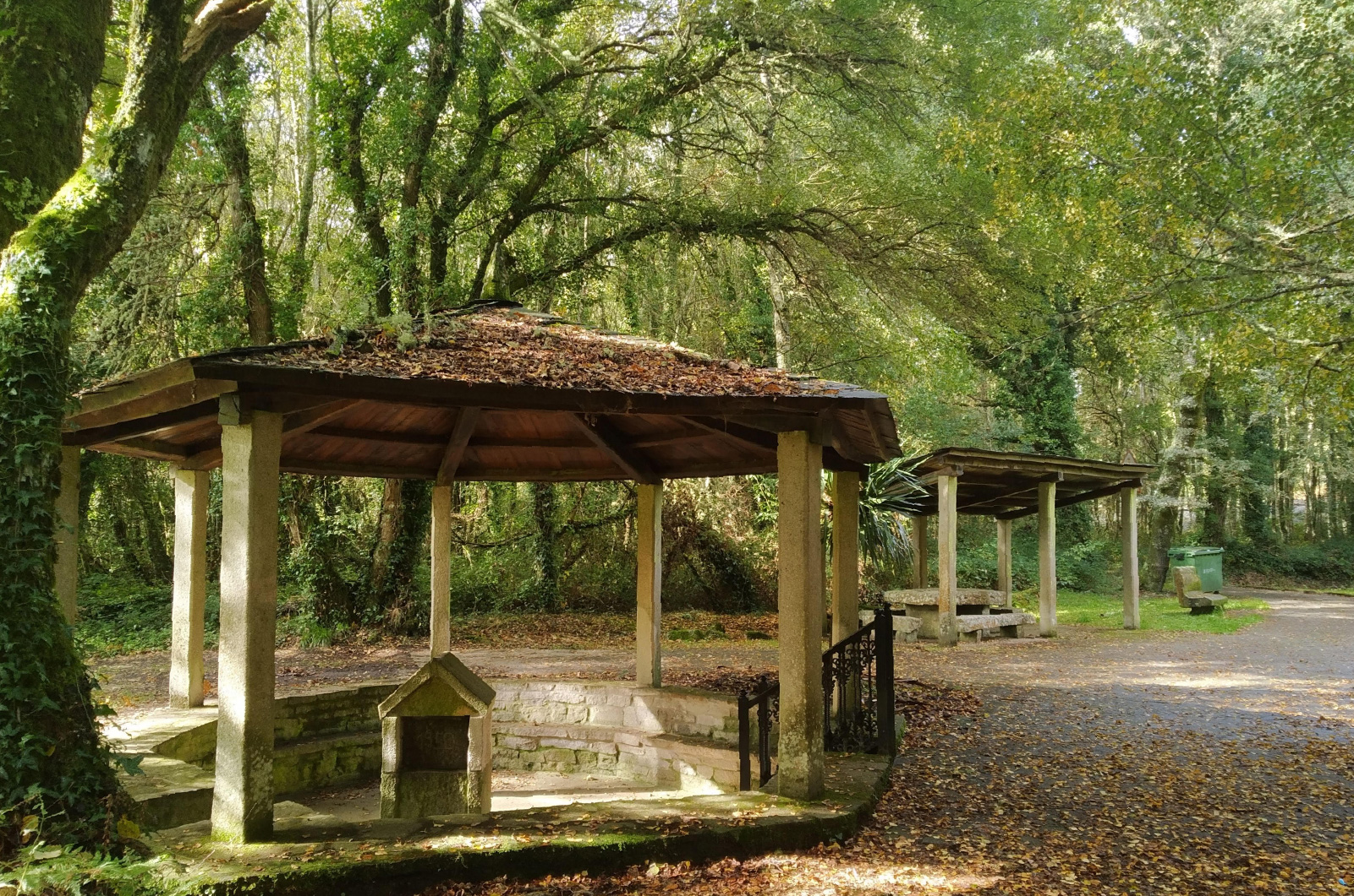
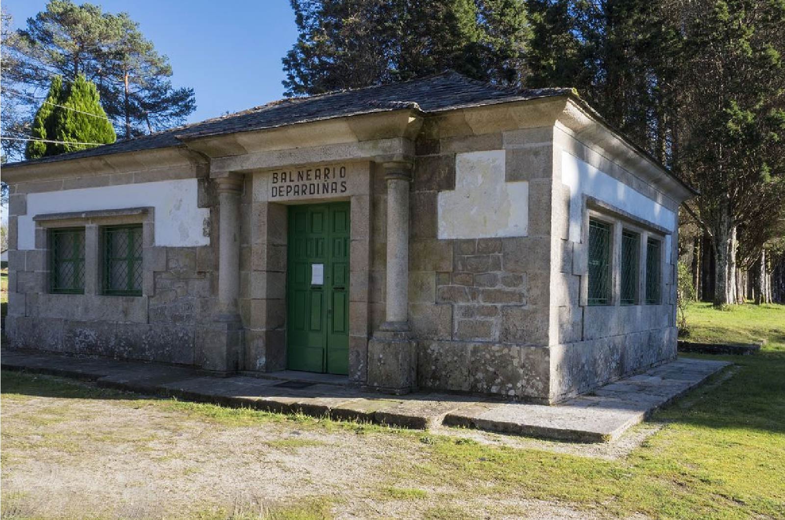
The Water Route is a walk through nature, history, literature and ethnography of this neautiful City Council. This route of about 20km connects Santiago´s North Path with the 3 measurement fountains of the City Hall: Fuente de Valdovín, Parga; Fuente de San Xoán, Lagostelle and Fuente de Pardiñas, Pardiñas.
Difficulty level: Medium-low
Duration: 6:30h
Distance: 19,6km
At the beginning, in an emblematic place of Guitiriz, there´s the parish of Sambreixo, in a unique place known as San Alberte where a roman bridge, an interesting Gothic chapel with a cruise of this century (sculpted by the local Josefa Quarry) and an amazing natural environment with a wide variety of trees converge; all on the bank of the Parga River that in this area is already and adult and runs to join the Landra, a few kilometres later. Close to this area, going up just a few metres to the left, is the Sambreixo viewpoint from which you can enjoy a beautiful skyline.
The Route is divided into three sections

San Alberte – Fonte de Valdovín
4.650 m.

Fonte de Valdovín – Fonte de San Xoán
8.100 m.

Fonte de San Xoán – Fonte de Pardiñas
6.900 m.
